Asheville on Bikes does not endorse candidates. We do advocate for policies and design standards that advance our active transportation network and we recommend that any public official adopt the positions we outline here.
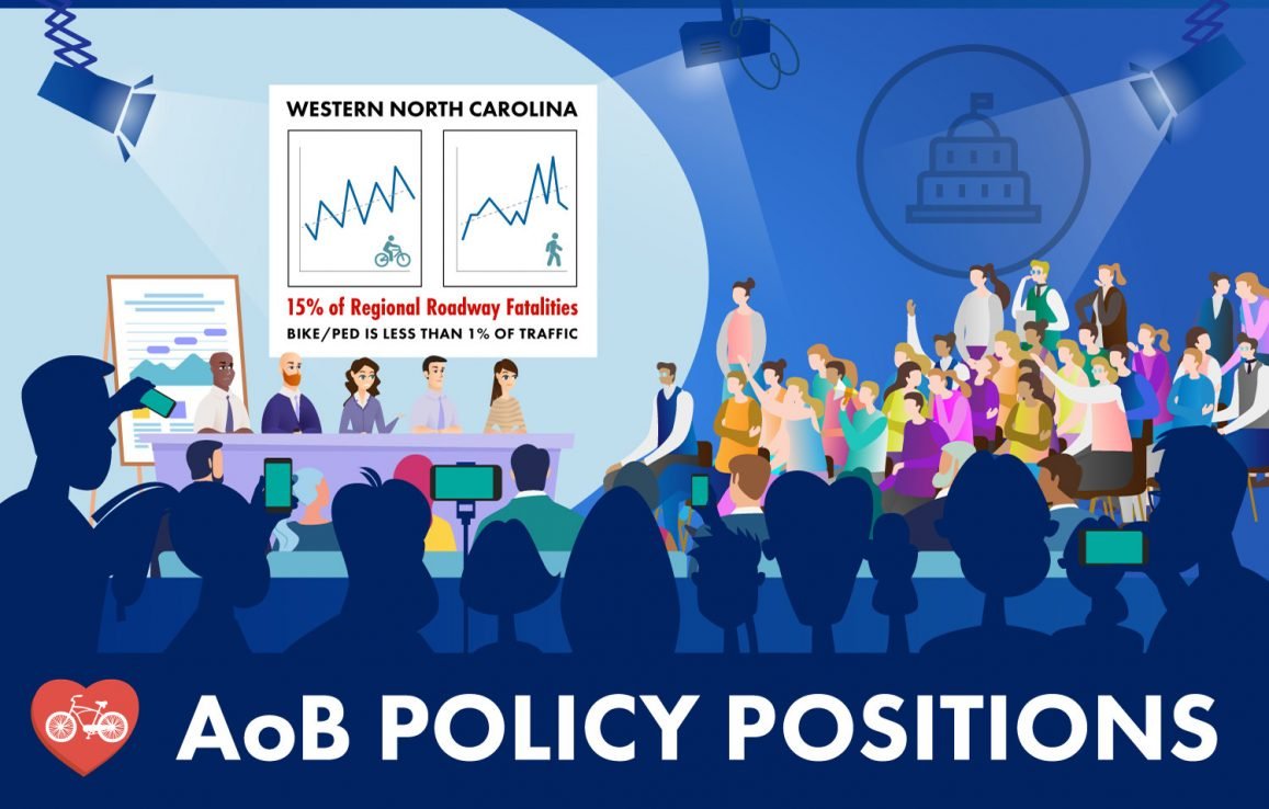
Asheville is one of the most dangerous cities in NC for people walking, biking, and driving. Therefore, city, county, and state leadership should address this public safety issue by making aggressive and continuous changes to improve our land use regulations and our transportation network until Asheville is the safest place in North Carolina to walk or ride a bicycle.
- Invest in affordable housing. The best way to connect people to places is to invest in urban density. Transportation is a component of land use. Improve and advocate for land use regulations that advance density and complete street facilities.
- Formally adopt National Association of City Transportation Officials (NACTO) design standards into its Standards & Spec Manual to inform Complete Street Design on future road projects. Furthermore, Asheville should formally join as a NACTO Membership City.
- Multi-Modal Transportation Commision (MMTC) voted to recommend adoption in 2017; City Council has not acted to formally adopt NACTO design standards.
- Stop planning individual small projects that are unrelated and instead plan a connected network of active transportation resources, committing annual funding towards a specific future goal. Plan on spending at least $50 million towards this regional goal. Invest in facilities that have the greatest impact on the most people. Prioritize facilities that improve mobility, public safety, health, and encourage economic development. Invest in the following ways:
- Invest in an active transportation network which means building greenways, building protected bike lanes, and building sidewalks. It also means lowering design speeds, restricting on street parking, building neighborhood traffic circles, and improving bus service. Set goals for miles of built infrastructure, per year.
- Invest in reconnecting our City to downtown via active transportation routes to diversify the mode share. Build at least one family-safe biking and walking route for each place in this list: Oakley, Kenilworth, Haw Creek, Beverly Hills, Southside, Shiloh, the Biltmore Estate, Chestnut Hills, Grove Park, Montford, UNCA, AB Tech, West Asheville, North Asheville, and Emma. An 8 year old and an 80 year old should feel equally comfortable on these routes.
- Investments AoB has supported:
- The French Broad River Metropolitan Planning Organization (FBRMPO) should increase the priority given to all projects that improve our multi-modal transportation network or add bicycle and pedestrian facilities to our rights of way. See our Public Comment on FBRMPO 2020 TIP Amendment to delay projects after NCDOT budget shortfall.
- McDowell / Biltmore Corridor Study
- Hellbender Trail
- Hendersonville Rd Corridor Study
- Build the phase one AVL Unpaved system by 2023.
- Expand flexible zoning. Use more Form Based Code.
- Rapidly expand active transportation facilities through a surface treatment approach like the College / Patton Bike+ Lane Project.
- Evaluate and publish the tax consequences of all transportation projects. Does the project decrease private land ownership? What is the value of those lost taxes over time? Does the project account for the future maintenance and replacement costs of the infrastructure involved?
- Develop a land banking policy or strategy for active transportation infrastructure as recommended by the City of Asheville’s Greenway Committee.
- Meter all on street parking in the Central Business District and implement demand based pricing; price the parking based on demand and charge the highest rates in the highest use parts of downtown.
- Invest in bicycle and pedestrian counting technology so that counts can occur more often and with motor vehicular counts.
- Adopt and enforce an active transportation mitigation construction policy so that when construction encroaches into the public right of way pedestrian and bicyclists safety and connectivity isn’t compromised.
- Require temporary bicycle parking as part of all downtown festivals and events, required as part of the permitting process.
- City council appointments to the Metropolitan Planning Organization (MPO) should champion and advocate for active transportation investment above road widening projects and work to fund projects through the Build Back Better legislation. The Federal Build Back Better program empowers state MPO’s with direct funding that can be spent on local projects. This could include the Hellbender Trail and the Swannanoa Greenway. You can read about the Hellbender network here. This greenway network of 155+ miles of regional multi-use paths represents many millions in future economic growth and improved health for area residents. The network will connect Hendersonville, Brevard, Asheville, Swannanoa, Black Mountain, Candler, Canton, Weaverville, and Mars Hill in a plus-shaped network. Build it within 10 years, which is a similar amount of time to the I-26 connector project.
Are you a reader? You are invited to check out our resource list and learn more about why we have taken these policy positions:
Web sites:
- Bicycle Friendly Communities – Asheville, NC maintains Bronze Status For this graded award, Asheville is being penalized for failing to build real infrastructure that helps biking and walking
- National Association of City Transportation Officials
- Smart Growth America
- People for Bikes’ Building Equity Report
- Strong Towns and the work of Charles Marohn
- Nine Keys to Safe Downtown Streets and the works of Jeff Speck
Youtube channels:
Books:
- Right of Way – Angie Schmitt
- Bike Lanes are White Lanes – Melody L. Hoffmann
- Street Fight – Janette Sadik-Khan
- Walkable City & Walkable City Rules – Jeff Speck
- Strong Towns – Charles L. Marohn, Jr.
- For the Love of Cities – Peter Kageyama
- Triumph of the City – Edward Glaeser
- The Death and Life of Great American Cities – Jane Jaccobs
- How Cycling Can Save the World – Peter Walker
- Timeless Way of Building and A Pattern Language – Christopher Alexander
Selected AoB Public Comments, Letters, and Reports:
- Merrimon Ave Assessment & Advocacy Opportunities
- Public Comment to French Broad River Metropolitan Planning Organization regarding 2020 TIP Amendment to delay projects after NCDOT budget shortfall
- 101 Charlotte St Public Comment
- McDowell St – Biltmore Ave Corridor Study
- Coxe Ave Report re: tactical urbanism
- I-26 Questions and Concerns
Get to know this map of fatal collisions for all traffic, layered with bike/ped injuries:
Read our 2022 Primary Election Voter content:
- 2022 Primary Election Candidate Questionnaire responses
- 2022 Video from “Get There Asheville” public forum
Read our other 2020 Election Voter content: